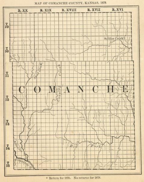
Topography. - Bottom land, 10 per cent.; upland, 90 per cent.; forest, 1 per cent. ; prairie, 99 per cent. The west half is level, or gently undulating, the east half bluffy.
Timber. - There is no good timber.
Principal Streams. - Mule creek is the principal stream; it has numerous tributaries, all flowing southeast. There are a few springs.
Stone. - There is an abundance of gypsum, and good building stone.
No returns of population or industrial statistics.
![]()
