

Labette
County
KSGenWeb

 Chetopa,
Founded: 1857
Population: 1357
Elevation: 824 feet
Latitude: 37° 2' 14" N
Longitude: 95° 5' 23" W
School District: USD 505
ZIP code: 67336
Area Code: 316
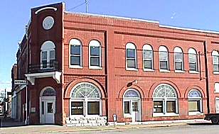
| Chetopa is located in southeastern Labette,
[LB], county at the intersection of highways US59 and US166. The
Neosho River forms the east boundary of town and is famous for
its fishing, especially for catfish. The valley of the river is
also perfect for pecan trees; pecan groves surround the town and
harvesting pecans is a major local industry. Chetopa is named for a chief of the Osage Indians. Dr. George Lisle formed the Chetopa Town Company in 1868 and purchased the townsite from the federal government. The MKT railroad came to Chetopa in 1870. |
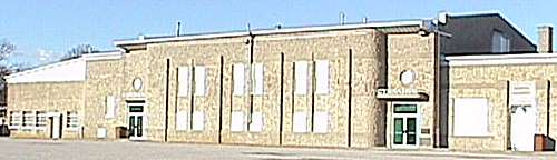
Schools |
USD 505 (316) 236-7244 Hornets 430 Elm Chetopa KS 67336-9701 Grade School (316) 236-7959 / 430 Elm High School (316) 236-7244 / 430 Elm |
|
|---|---|---|
| Library | Chetopa City Library (316) 236-7194 /
312 Maple / P. O. Box 206 Hours: Monday, Wednesday, & Friday 1:00-5:00 Thursday 4:00-8:00 |
|
| Museum |
Chetopa Historical Museum
(316) 236-2171 / 419 Maple |
Chamber of Commerce
(316) 236-7511
332 Maple /
Chetopa, KS 67336
Copyright © 1996 -
The USGenWeb® Project, KSGenWeb, Labette
County
Design by Templates in Time
This page was last updated
07/10/2024