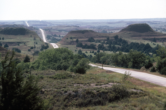
Highway 160 in the Red Hills, Barber County, Kansas
Photo by John Charlton, courtesy of the Kansas Geological Society.


Highway 160 in the Red Hills, Barber County, Kansas
Photo by John Charlton, courtesy of the
Kansas Geological Society.
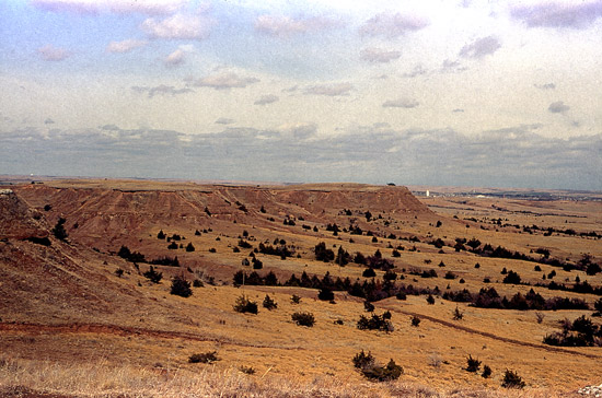
Red Hills near Medicine Lodge, Barber County, Kansas
Photo by John Charlton, courtesy of the Kansas Geological Society.
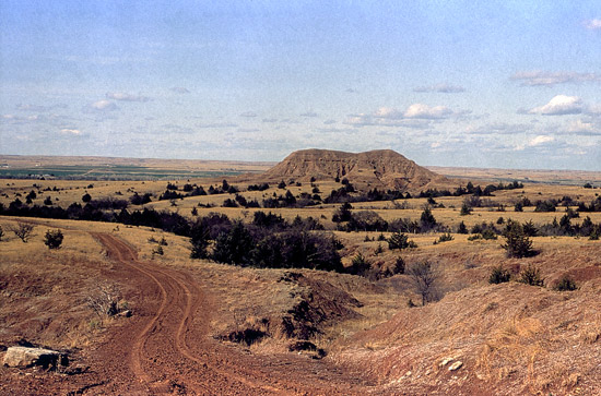
Trail in the Red Hills (Gypsum Hills) near Medicine Lodge, Barber County, Kansas
Photo by John Charlton, courtesy of the Kansas Geological Society.
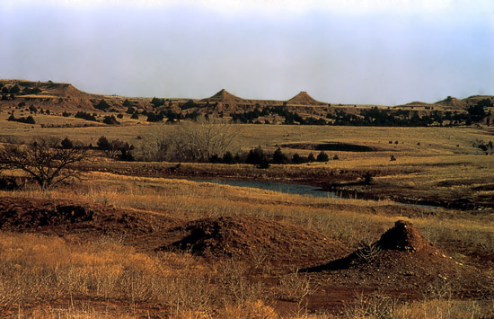
Twin Peaks in the Red Hills near Medicine Lodge, Barber County, Kansas
Photo by John Charlton, courtesy of the Kansas Geological Society.
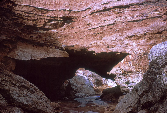
Bear Creek running under the Natural Bridge, 1960, Barber County, Kansas
Photo by Stan Roth, courtesy of the Kansas Geological Society.
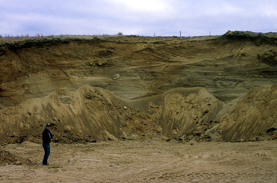
Crossbedded Permian Sandstone and Silt, Barber County, Kansas
Photo by John Charlton, courtesy of the Kansas Geological Society.
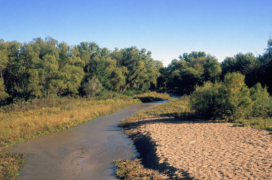
Medicine Lodge River, Spring 1983, Barber County, Kansas
Photo by John Charlton, courtesy of the Kansas Geological Society.
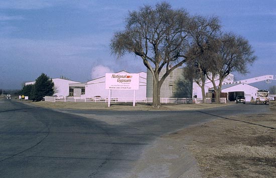
National Gypsum Plant, Medicine Lodge, Kansas.
Photo by Robert Sawin, courtesy of the Kansas Geological Society.
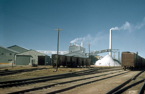
National Gypsum Plant, November 1962.
Photo by John Charlton, courtesy of the Kansas Geological Society.
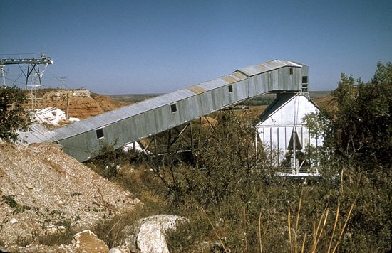
Pioneer Mine, November 1962.
Photo by Grace Muilenburg, courtesy of the Kansas Geological Society.
Also see:
Cowboy Rock near Sun City, Barber County, Kansas Photos from the collection of Kim Fowles.
The Natural Bridge near Sun City, Barber County, Kansas Photos courtesy of Brenda McLain, Kim Fowles and the Kansas Geological Society.
target=new>Kansas Geological Society: Data from Barber County, Kansas
More photographs of Barber County, Kansas, from the Kansas Geological Society