COMANCHE COUNTY KSGENWEB 2008: HISTORY & GENEALOGY
HOME
Bibliography
Biography
Cemeteries
Churches
Cities & Towns
Clubs
Contributors
Diamond Jubilee
Events
FAQ
Genealogy
Guest Book
History
Links
Maps
Military
News Articles
Newspapers
Opry
Photos
Poetry
Records
Satellite Images
Schools
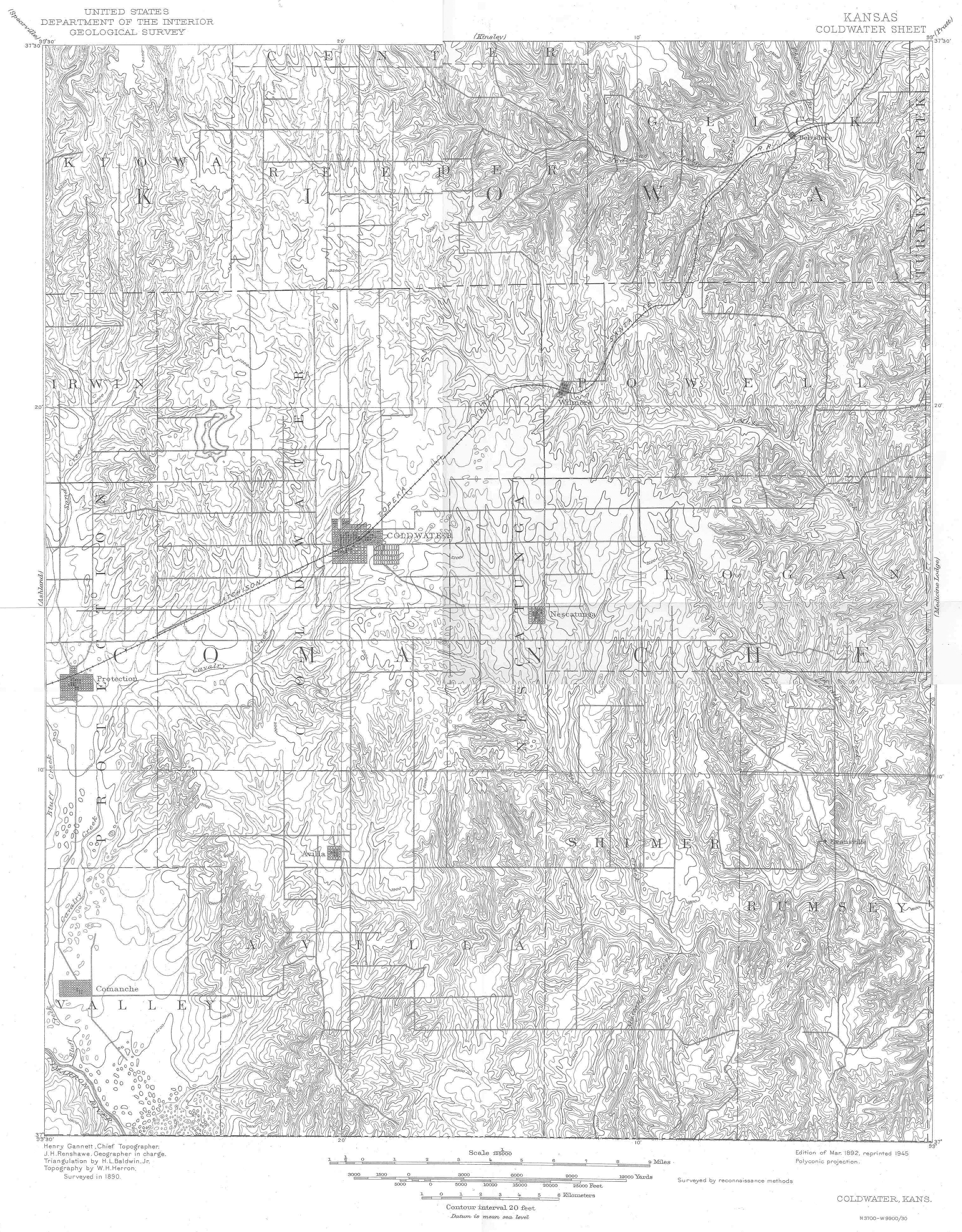
Thanks to Eugene Markstrom for the scans of this map from which the following image was assembled!
1892 USGS Map of Comanche County, Kansas
Use the scroll bars to scroll right and down to view the entire map.
Be prepared to spend about 15 minutes downloading this image if you're using a 56K modem.
Thanks to Eugene Markstrom for contributing the above map to this web site!
This website is being created by HTML Guy Jerry Ferrin with the able assistance of many Contributors. Your comments, suggestions and contributions of historical information and photographs to this site are welcome. Please sign the Guest Book. This page was last updated 26 October 2004.