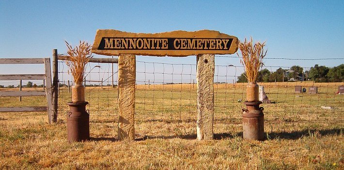
Entrance to the Mennonite Cemetery. Photo by Bobbi (Hackney) Huck, June 2004.


Entrance to the Mennonite Cemetery. Photo by Bobbi (Hackney) Huck, June 2004.

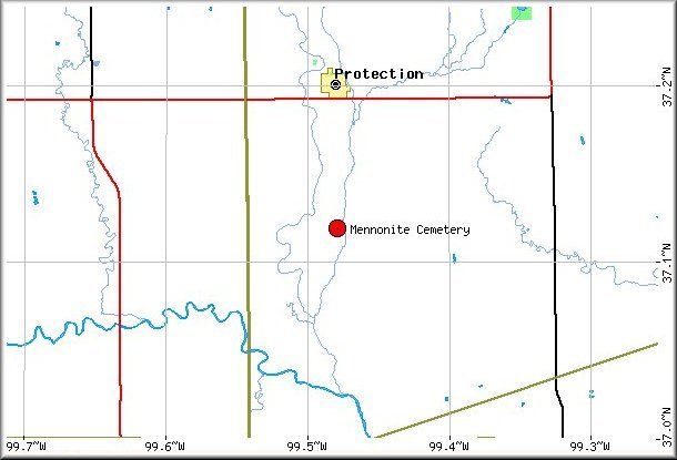
USGS Map Showing Mennonite Cemetery in Relation to Protection, Kansas.

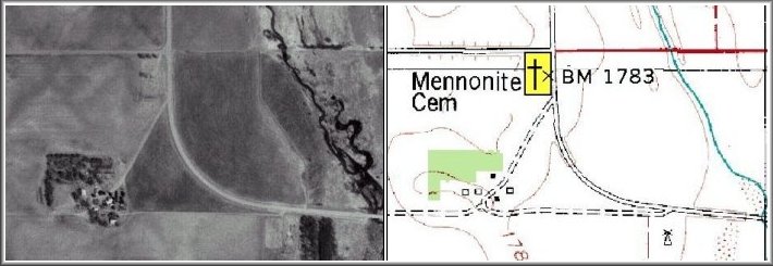
USGS aerial photograph. Mennonite Cemetery, Comanche County Kansas. USGS topographical map
Also see:Mennonites In Comanche County, Kansas by Ursula Miller, 1948.
Protection Mennonite Church by Orlin Loucks, 1997.
This website is being created by Jerry Ferrin with the able assistance of this website's "in-country" embedded Comanche County Correspondent and Content Contributor Bobbi Huck. We welcome your comments, suggestions and contributions of historical information and photographs to this site. Please sign the Guest Book.This page was last updated 13 June 2006.